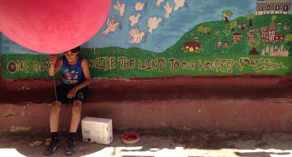
In 2015, we started working on planning an urban agriculture pilot project and creating a green space within the camp. But to do this we needed a map. With the discovery that the local committee did not have a good map to work from – indeed, that there were no publicly available maps of the camp – we took aerial images of the camp with our kite and balloon mapping kit in order to start constructing one – a project that we are still working on.
Mapping is about creating a tool that will help visualise a space, but it is also an exercise in perceptions.
One of the most fun and enriching parts of the project to date has been the response of the community, and their delight in seeing that it does not require high technology to create a map.
For more information, please see the article on Al Jazeera, published on 5 November 2016.
